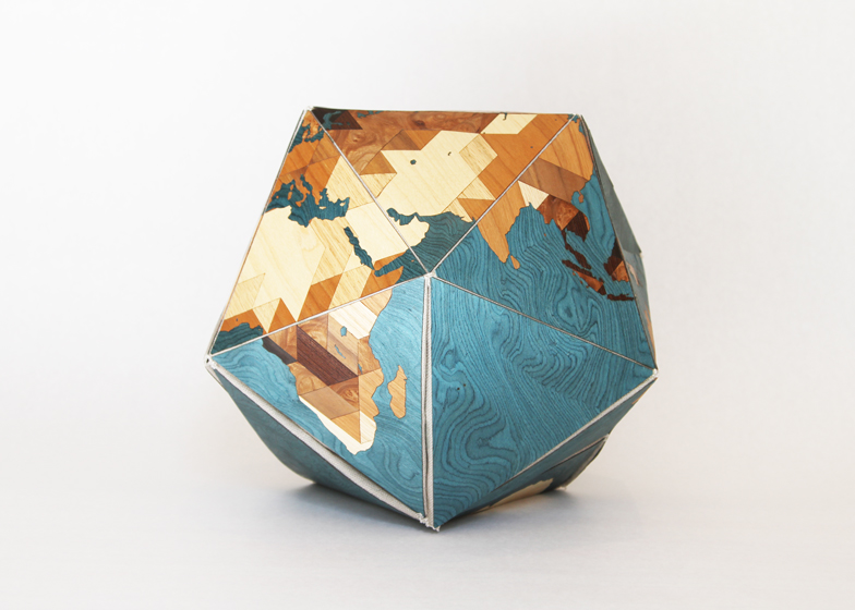
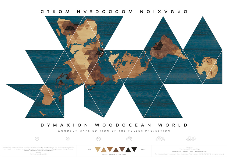
I recently stumbled across this old article about the Dymaxion world map projection invented by Buckminster Fuller (and therefore also known as the Fuller Projection Map). It is supposedly the “first two-dimensional map of the entire surface of Earth that reveals our planet as one, without inaccurately distorting or splitting up the land”. You can buy a poster of it here.
A team made up of artist Nicole Santucci and San Francisco-based firm Wood Cut Maps won the Dymax Redux prize to best show off this unique map projection on the 70th anniversary of its invention.
Their entry, Dymaxion Woodocean World, can be shown in the photos above and below. It shows the density of woodland throughout the world by using different colours of wood.
I was intrigued by the concept, and realised that Woodcut Maps offer custom maps for sale!
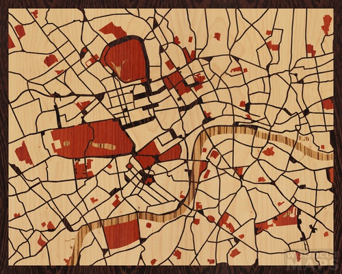
You can pick a spot on the map, have the site automatically create a rendered image suitable for manufacture, then have a woodcut map made of your selected spot. See my creation below based on the marvellous city that is London.


